The City of Leeds School is about 3 miles from West Park Centre towards the centre of Leeds.
The address, location and Sat Nav co-ordinates are:-
| City of Leeds School Bedford Field Woodhouse Cliff Leeds LS6 2LG |
Map | 53.8178,-1.557709 |
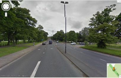
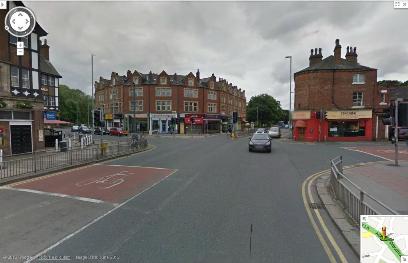
Approaching from the centre of Leeds up Woodhouse Lane (A660).
Note there is NO RIGHT TURN into Woodhouse Street at the Hyde Park Pub.
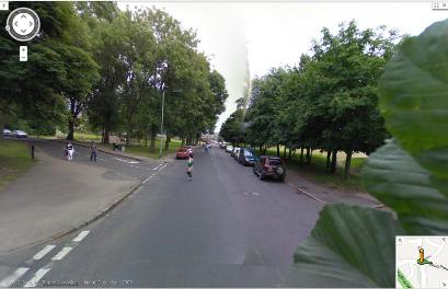
Pass the University and after 0.4 mile turn right into Rampart Road.
In 0.1 mile turn left into Woodhouse Street.
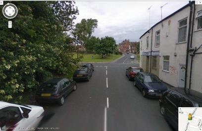
In a further 0.1 mile take the first right into Woodhouse Cliff.
Approaching from North Leeds.
After the roundabout on Leeds Ring Road (A6120) follow Otley Road and Headingley Lane (A660) for 2.3 miles and look for a signpost to Woodhouse and Sheepscar.
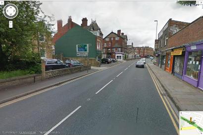
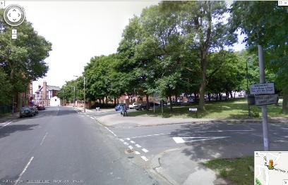
Turn left at the traffic lights which follow shortly, at The Hyde Park Pub, into Woodhouse Street .
In 120 yards take the second left into Woodhouse Cliff.
Drive along Woodhouse Cliff for 0.2 mile until you see the school gates.
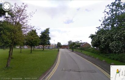
After parking take the path along the side of the school to where the push pin marks the entrance.
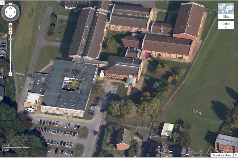
Walk through the first hall and turn right.